South Africa an astonishing plant paradise
The flora around Cape Town, the Cape Peninsula, and Namaqualand is as diverse and breathtaking as the landscapes themselves. This natural wealth is shaped by a variety of climatic conditions that create distinct habitats, from the Mediterranean climate of Cape Town to the arid terrain of Namaqualand. While the weather patterns vary, one thing remains consistent: the extraordinary beauty and uniqueness of the plant life that flourishes here
Weather and Climate Conditions
Cape Town enjoys a Mediterranean climate, characterized by warm, dry summers and cool, wet winters. This climate is ideal for fynbos—a distinctive, fire-prone vegetation type that thrives in the region. The surrounding Cape Peninsula, which forms the southernmost part of the city, experiences similar weather but can also be more temperate due to the moderating influence of the Atlantic and Indian Oceans. In contrast, Namaqualand, located further north, has a semi-desert climate. With scorching, dry summers and cold, wet winters, the flora in this region has adapted to withstand extreme conditions. However, it is the occasional rains during the winter months that transform the landscape, allowing for an explosion of color and life.
The Cape Floral Kingdom
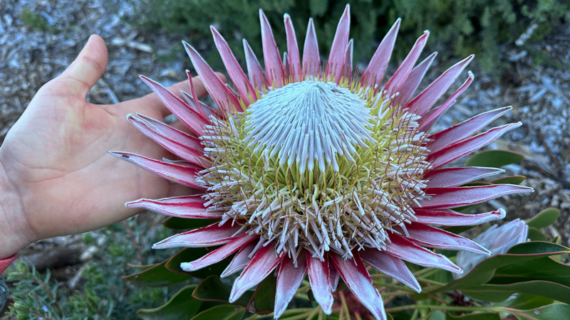
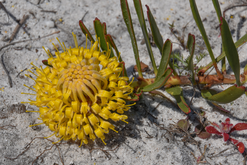
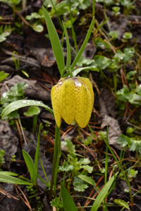
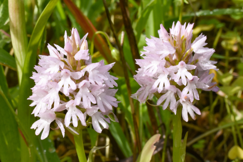
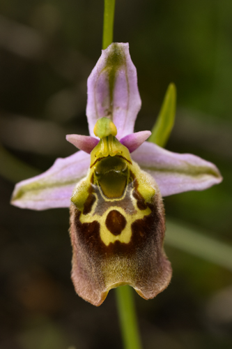
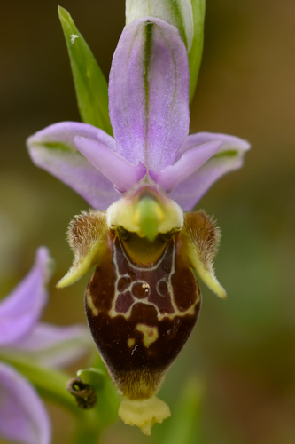
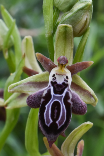
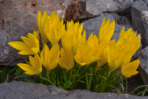
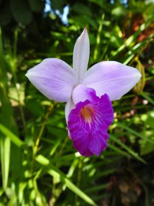
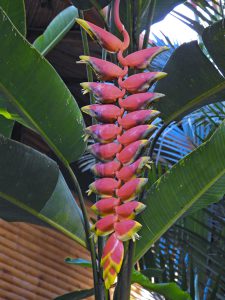
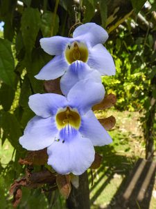
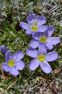
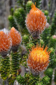
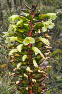
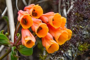
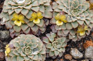
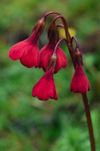
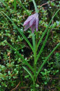
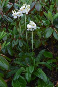
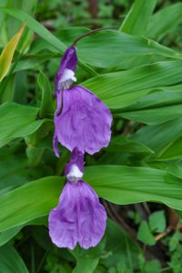
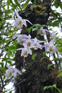
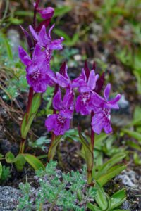
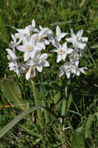
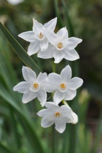
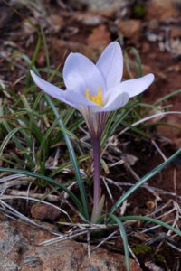
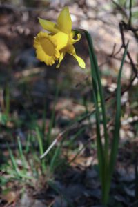
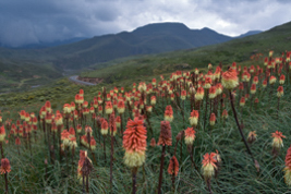
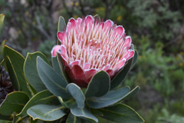
Cape Town and the Cape Peninsula lie at the heart of the Cape Floral Kingdom, one of the world’s six plant kingdoms and the smallest but richest of them all. This region is a biodiversity hotspot, home to over 9,000 plant species, many of which are endemic. The fynbos biome is a dominant feature of the area and boasts iconic plants such as proteas, heaths, and ericas. The protea, South Africa’s national flower, is one of the region’s most recognizable symbols, with its large, striking blooms in shades of red, pink, and white. Other notable plants include the delicate orchid, the vibrant geranium, and the honey-scented buchu plant, a favorite among local wildlife.
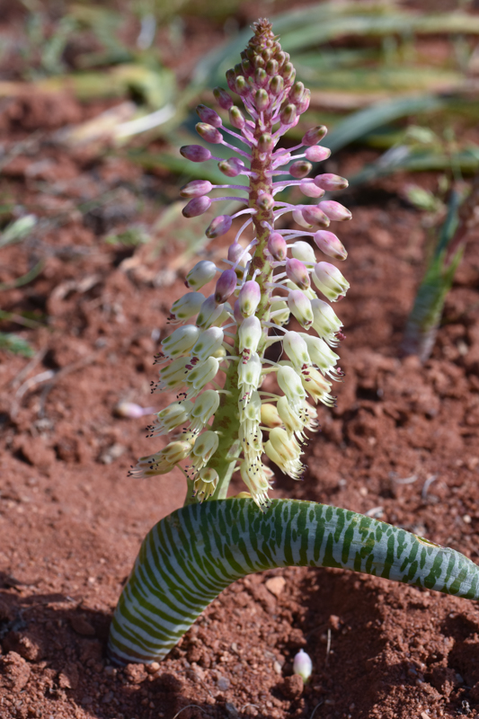
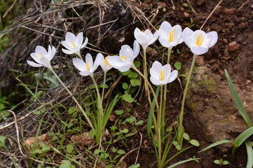
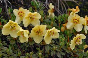
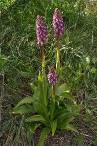
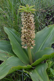
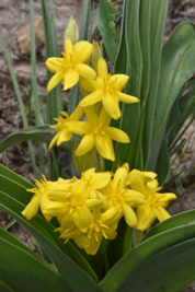
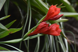
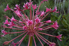
3 different Lachenalia species, there are more then 130n different ones in South Africa
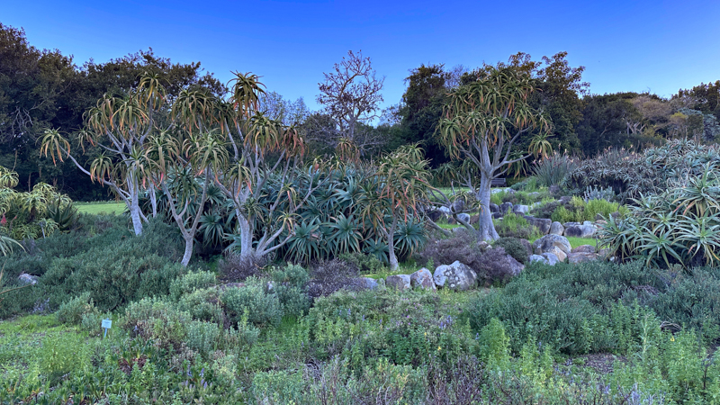
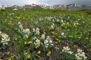
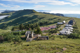
Spring (August/September) is the prime time to visit Cape Town’s botanical hotspots, with the city’s many parks, reserves, and gardens bursting into color. The Kirstenbosch National Botanical Garden, located on the eastern slopes of Table Mountain, is world-renowned for its beauty. Here, visitors can stroll among a variety of fynbos species, marveling at the intricate details of these plants. The combination of the mountain’s imposing presence and the lush, thriving flora below makes for a truly unforgettable experience.
Flora of the Cape Peninsula
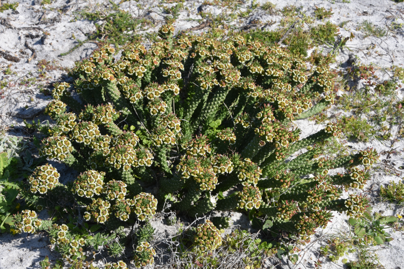
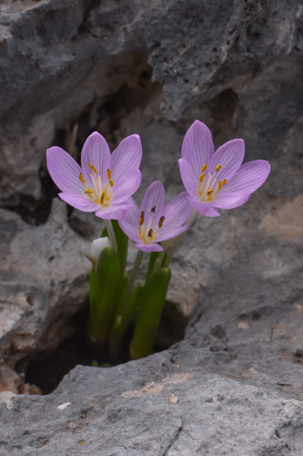
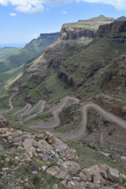
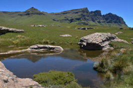
The Cape Peninsula, with its dramatic coastal cliffs and windswept hills, is a living testament to the resilience of plants. The flora here must withstand the constant assault of salt-laden winds and the occasional wildfires that sweep through the area. Despite this, a stunning array of plant species thrives. Mimetes hirsutus and the very dwarf/creeping Leucospermum hypophyllocarpodendron are special species in this area, but also Euphorbia caput-medusae does grow well here.
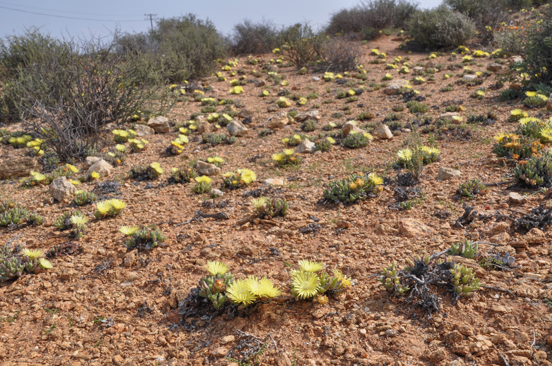
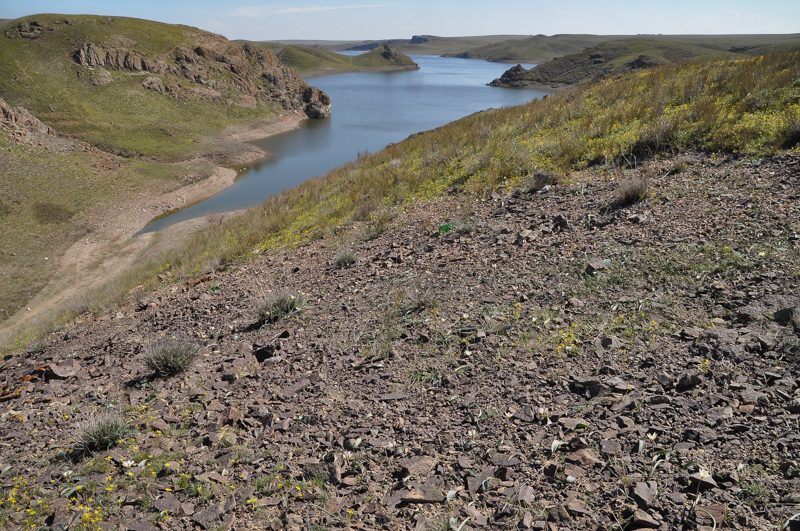
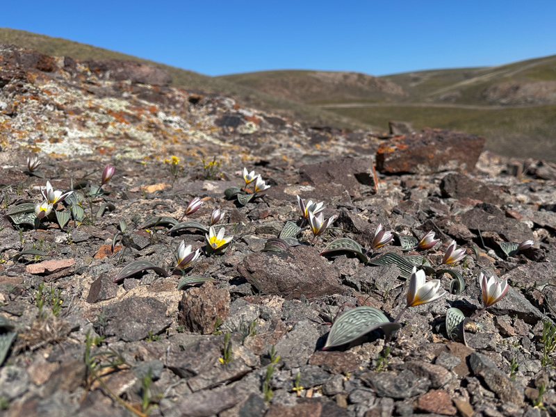
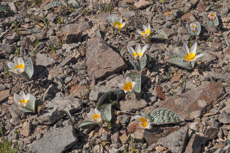
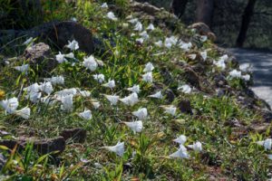
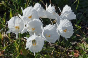
Namaqualand: A Desert Blooms After the Rain
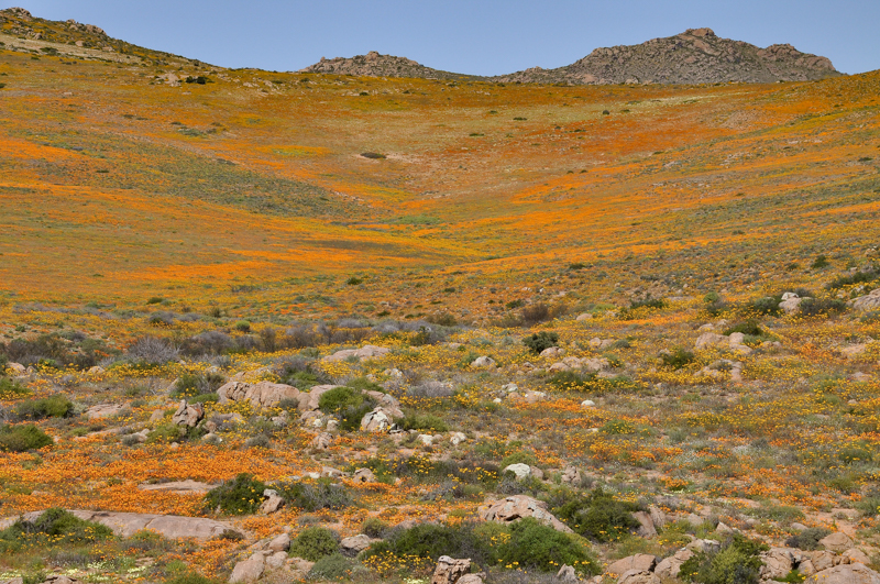
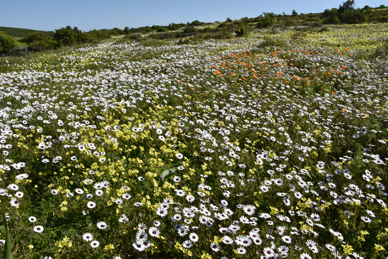
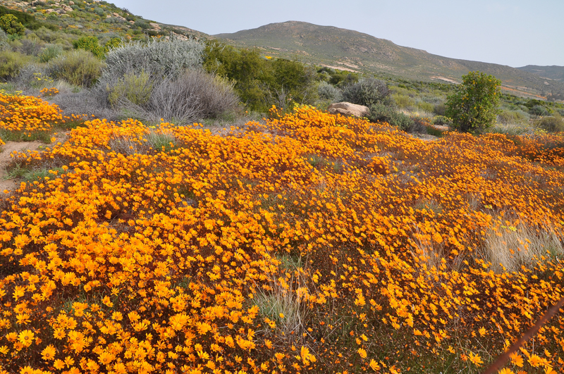
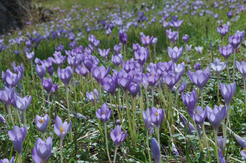
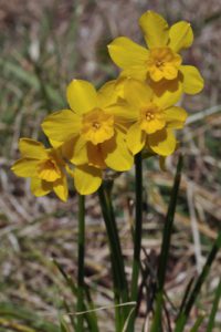
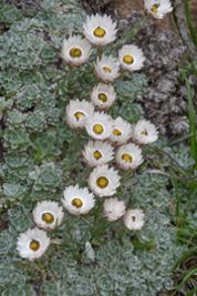
While the fynbos and coastal plant life of the Cape Peninsula are awe-inspiring, Namaqualand offers one of the most spectacular floral displays in the world. This semi-desert region, located in the Northern Cape, is known for its extraordinary spring flower displays. When the winter rains arrive—usually between May and August—the parched, arid land is transformed into a breathtaking floral wonderland. In a phenomenon known as the “Namaqualand Flower Carpet,” the landscape bursts into a riot of colors, with fields covered in thousands of wildflowers, including the region’s iconic daisies.
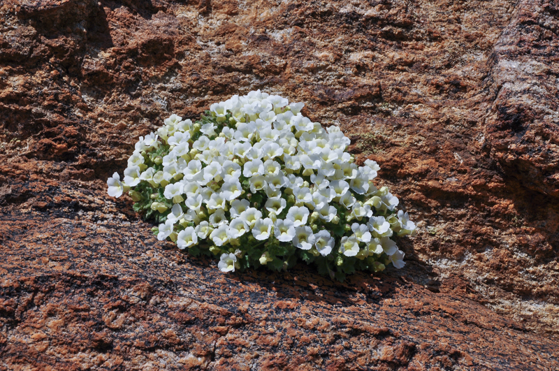
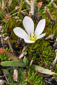
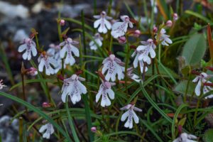
The Namaqualand daisy (Dimorphotheca sinuata) is the star of this show, its cheerful yellow, orange, and white blooms carpeting the hills and plains. While these flowers bloom abundantly after the rain, their growth is highly dependent on the rainfall. In years of abundant rain, the flower display is nothing short of a miracle, with entire fields of daisies, buttercups, and other wildflowers transforming the arid landscape into a kaleidoscope of color. The timing of the blooms varies, but generally, the best displays occur between late August and September, attracting photographers, botanists, and nature lovers from around the world. One of the very few real cushion plants, growing in tight rock crevices is the white flowered Colpias mollis.
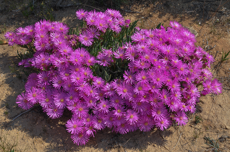
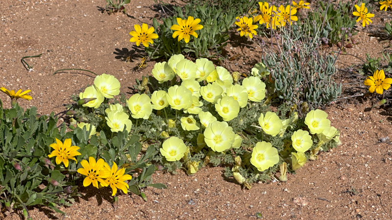
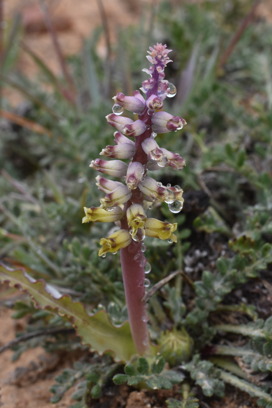
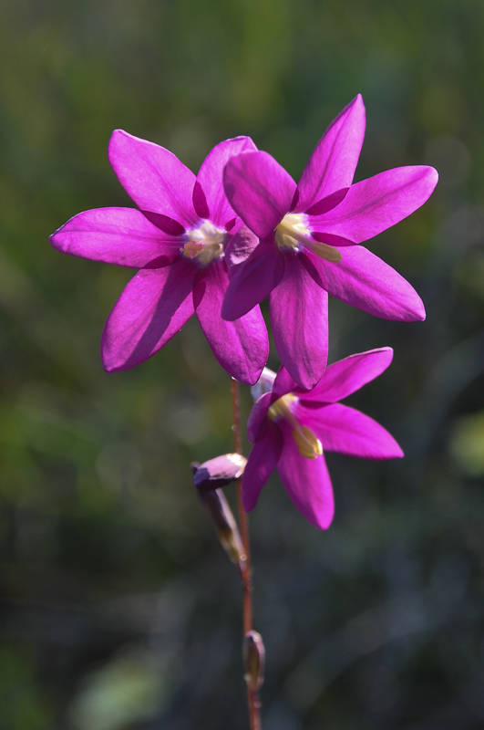
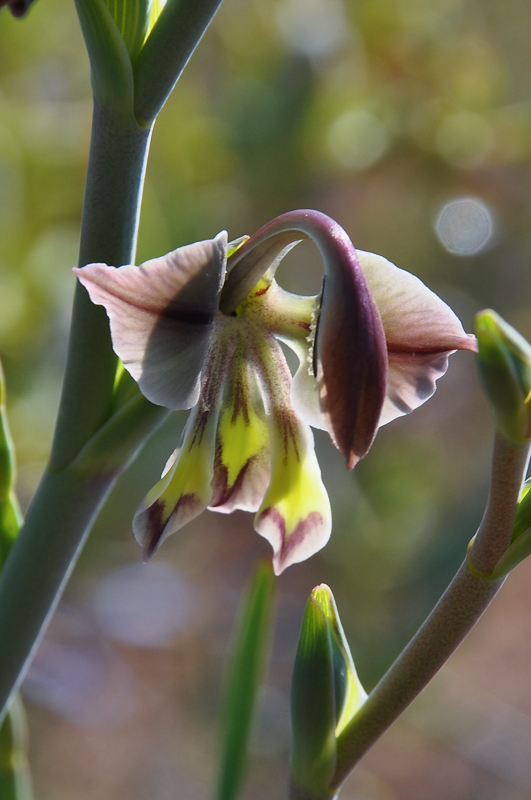
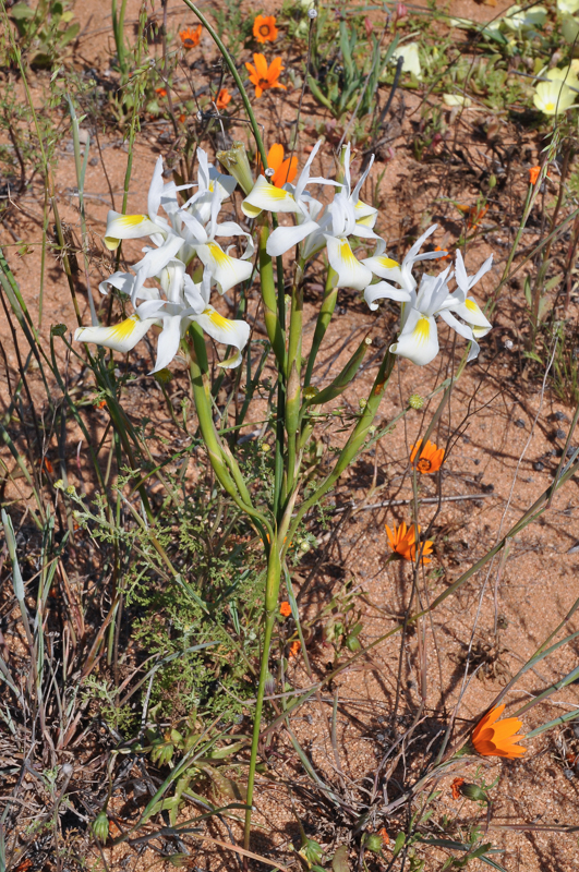
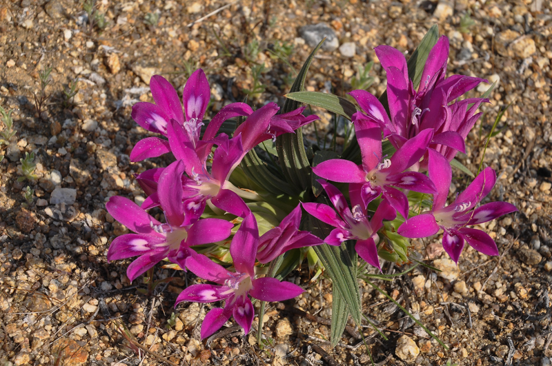
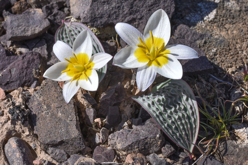
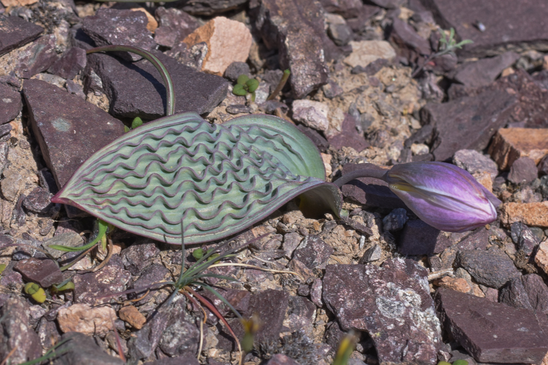
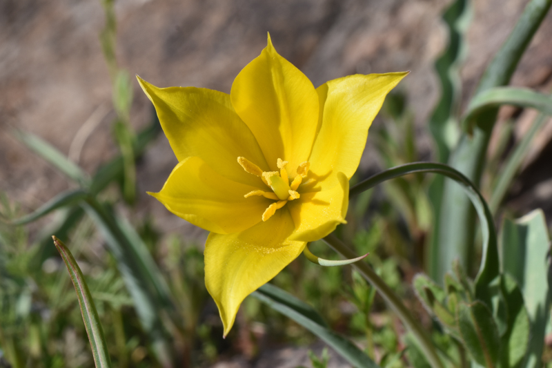
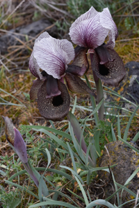
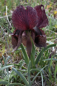
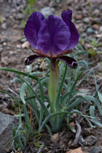
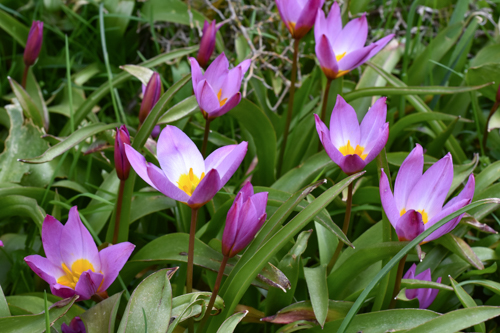
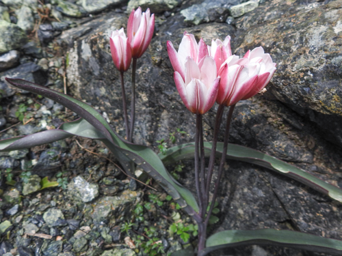
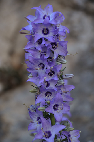
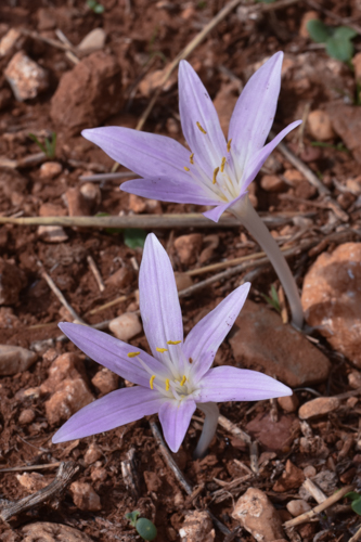
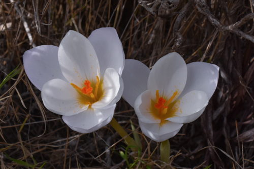
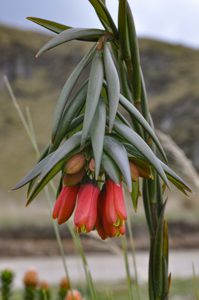
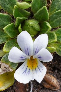
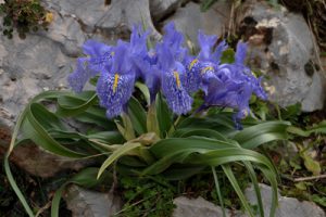
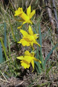
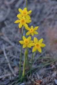
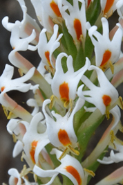
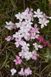
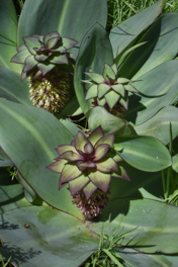
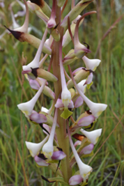
In addition to the dazzling daisies, Namaqualand is home to other remarkable plants such as the striking Grielium humifusum, Lachenalia anguinea, Usinia cakelifolia, Babiana curviscapa , Moraea filicaulis, Gladiolusorchidiformis, Ixia ramulosa and the quirky succulents like Cheiridopsis namaquenis, Ruschia goodiae and Cephalophyllum pillansii have adapted to the harsh desert conditions.
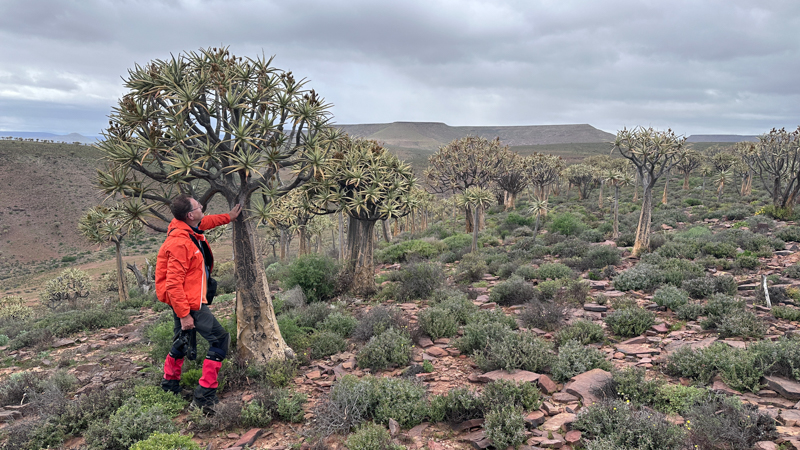
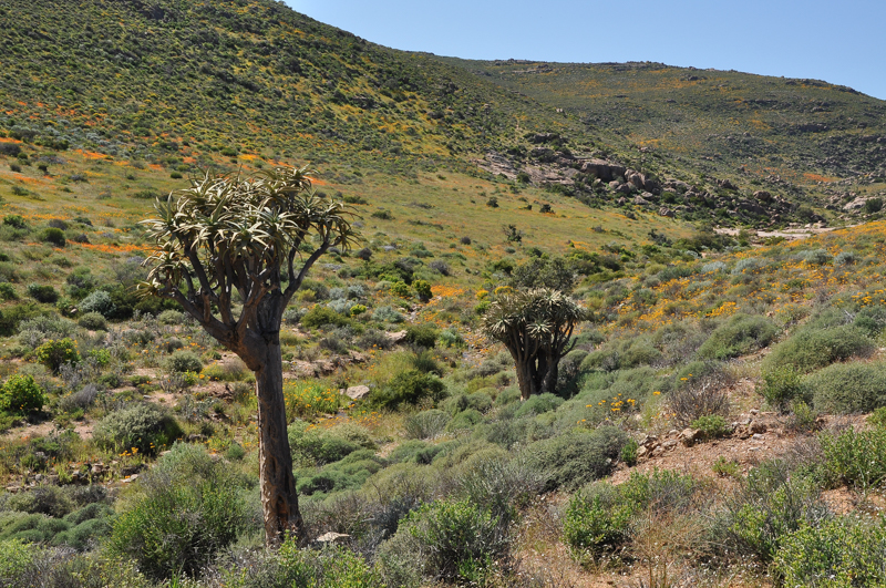
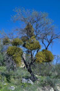
Aloidendron dichotomum: The Quiver Tree
The Quiver Tree Forest at Gannabos is one of the largest and most accessible concentrations of quiver trees in South Africa. Aloidendron dichotomum, is a striking succulent native to southern Africa, particularly found in Namibia and parts of South Africa. It thrives in arid, rocky environments, preferring dry, well-drained soils and full sunlight. This tree is renowned for its unique, forked branches and large, spiky leaves. The Quiver Tree is adapted to extreme conditions, storing water in its thick, fleshy trunk.
Conclusion
From the lush, biodiverse fynbos of Cape Town to the arid but spectacular wildflower displays of Namaqualand, the flora of the Western Cape and Northern Cape is nothing short of extraordinary. Whether you are walking through the botanical gardens of Cape Town, exploring the windswept peninsula, or witnessing the desert bloom in Namaqualand, the region offers an incredible variety of plant life that changes with the seasons but always delights with its beauty and resilience.
For all images South Africa 2024, click here


")


")


")


")


")


 Dushanbe")
 Dushanbe")
")


")


")


 and Volcan Chachani (6057m)")


")


")


 at Pashupatinath temple")


")


")


 at Pine Lake walk")
")


")


")


")


